The Complete San Francisco Neighborhood Guide
San Francisco covers just 7×7 miles, but is varied enough that you could spend two weeks here and still leave wanting more time to explore.
Walk three blocks and the city changes around you. North Beach trades in espresso bars, Beat Generation bookshops, and the smell of fresh focaccia. The Mission runs on taquerias, Latinx murals stretched across building walls, and the warmest weather in the city. The fog blanketing the Sunset on a Tuesday afternoon sits miles from the sunshine baking Dolores Park at the same hour.
This guide covers every major San Francisco neighborhood, what defines it, what to do there, and how to find your way around.
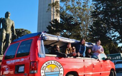
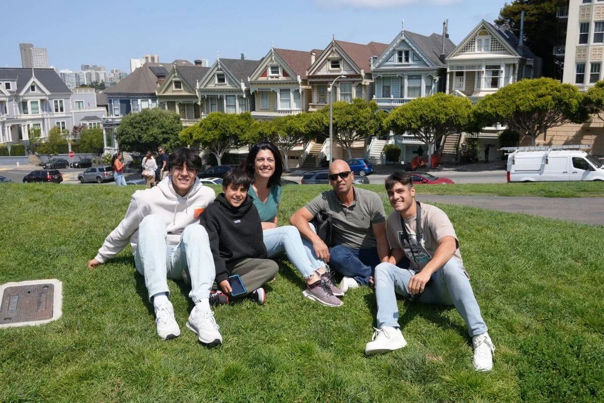
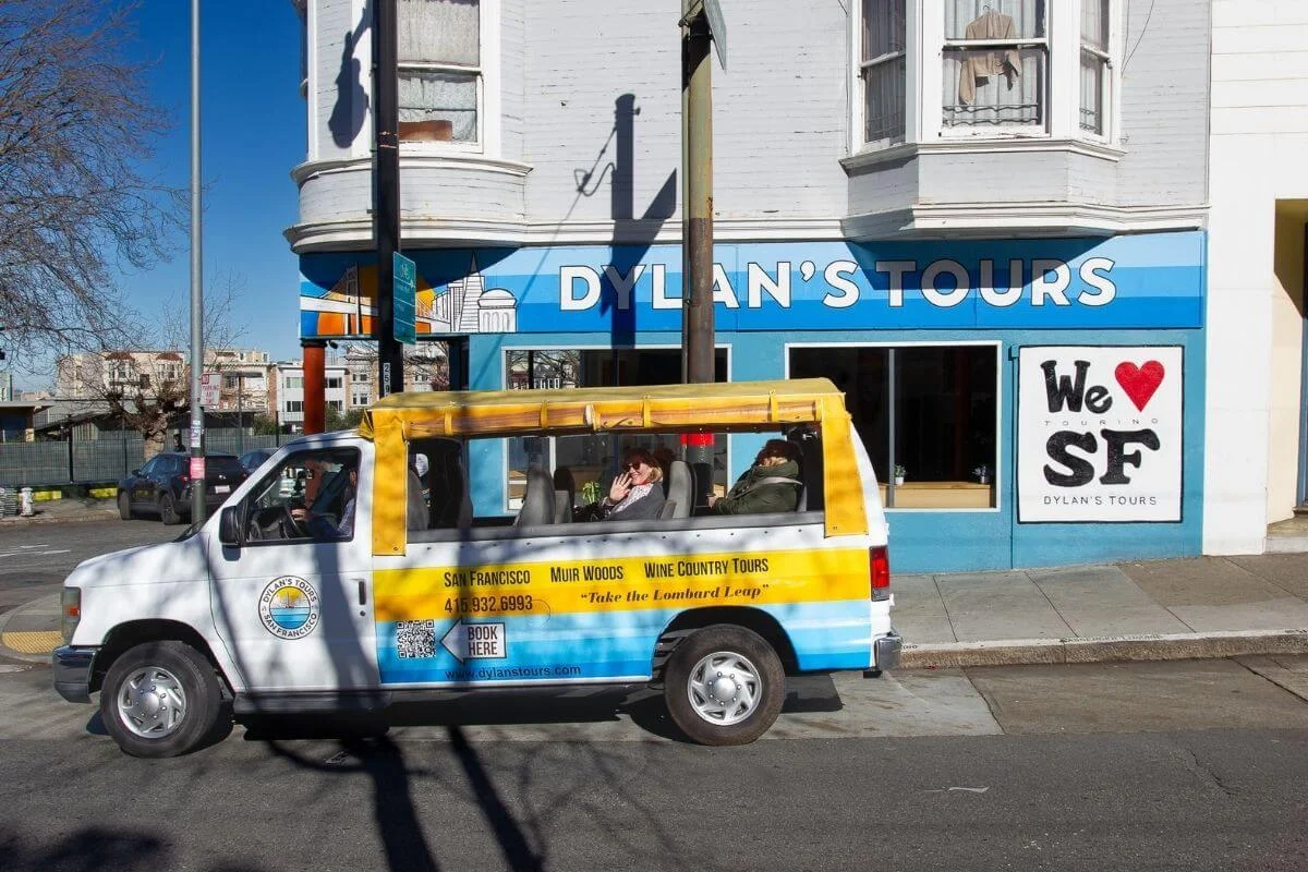
Want to cover 13 neighborhoods, the Golden Gate Bridge, and Muir Woods in a single day? Book Dylan’s Famous Tour and ride with a company travelers have trusted for 20+ years.
How San Francisco Is Laid Out
San Francisco sits on the tip of a peninsula, bordered by the Pacific Ocean to the west, the San Francisco Bay to the east, and the Golden Gate Strait to the north. The city’s 7×7 mile footprint holds 19 major neighborhoods spread across more than 50 hills.
Most visitors stay in the northeast quadrant, where Fisherman’s Wharf, North Beach, Chinatown, Nob Hill, and Union Square sit within a 20-minute walk of each other. The Marina, Pacific Heights, and the Presidio run along the northern waterfront. The Mission, the Castro, and Haight-Ashbury anchor the central neighborhoods. The Richmond and the Sunset stretch west toward the Pacific, with Golden Gate Park dividing them.
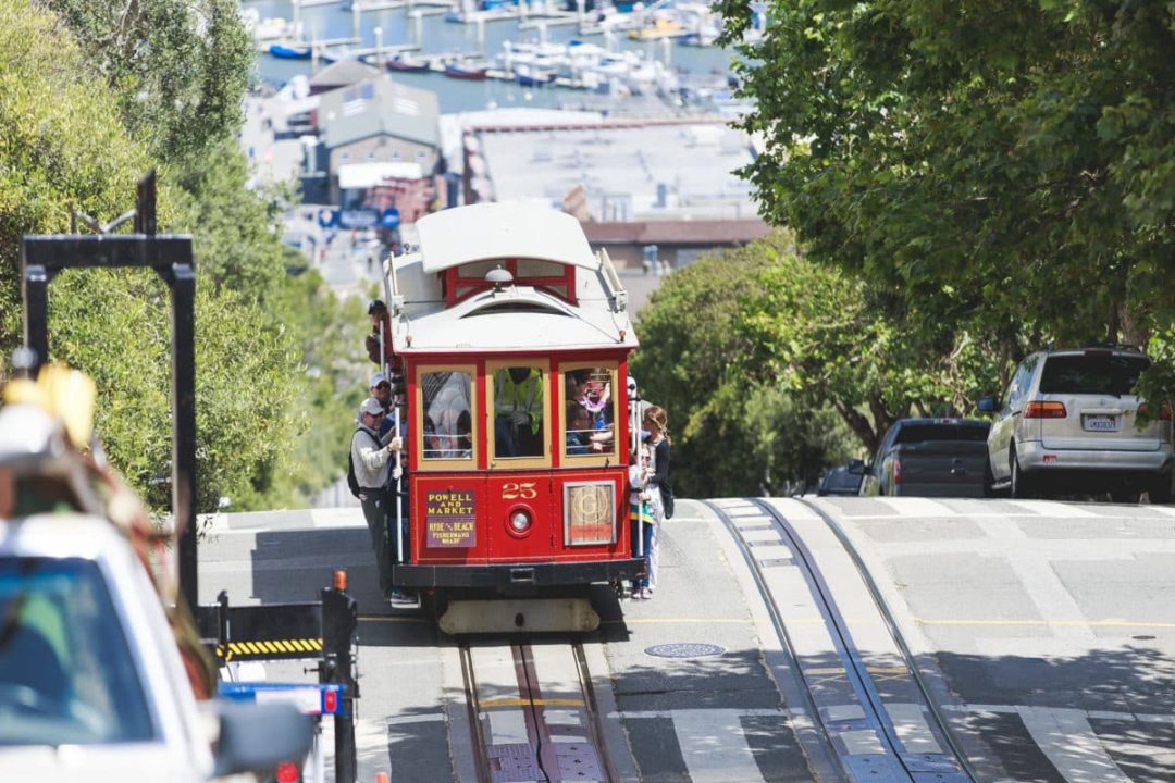
Public transit makes most of the city accessible without a car. Muni buses, the historic cable cars, and BART connect the major neighborhoods, and rideshares fill the gaps. Walking is often faster than driving, especially in the dense northeast corner.
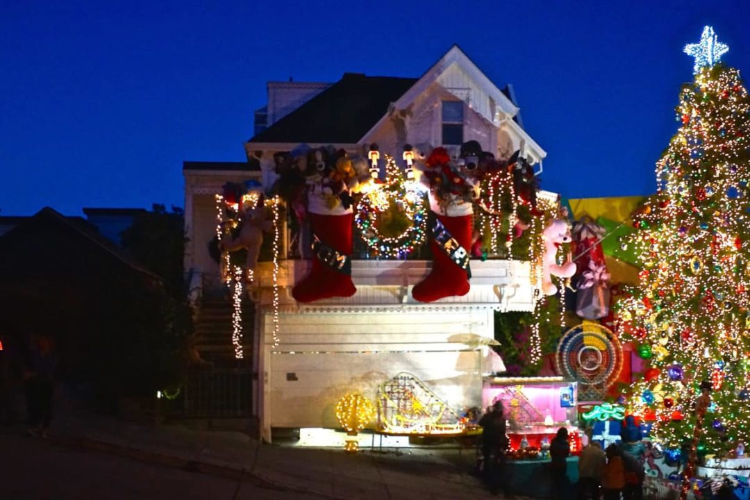
Fisherman’s Wharf
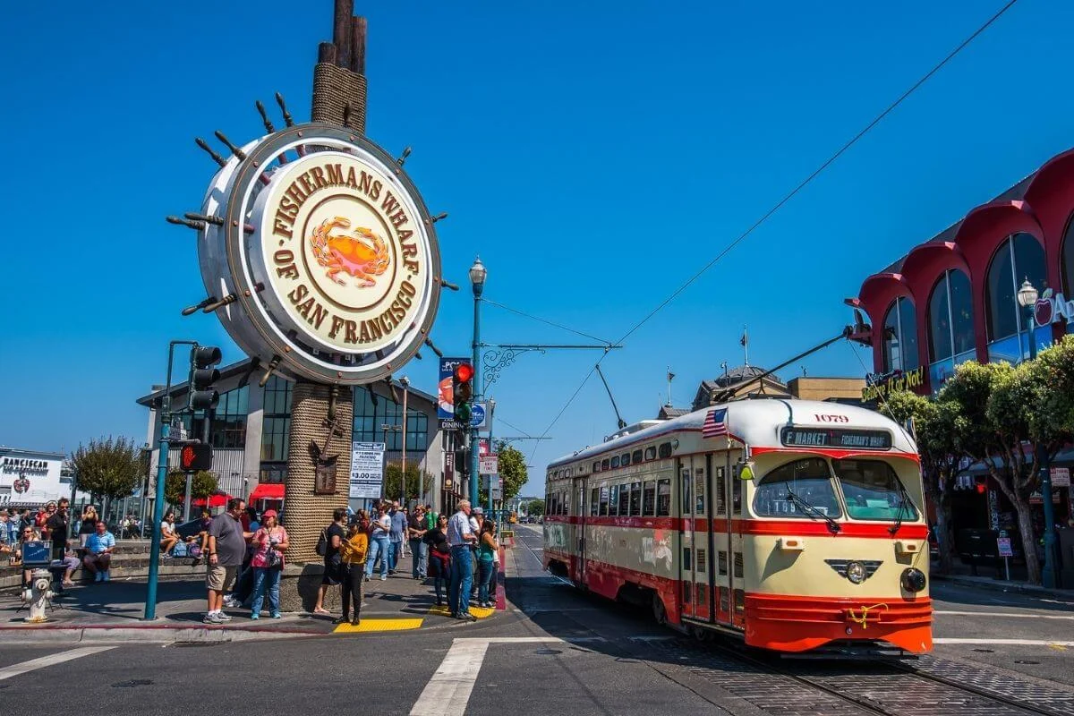
Fisherman’s Wharf has been a working fishing port since the late 1800s, with Italian-American roots that built the Dungeness crab industry. Local boats still sell fresh catch direct to the public from Piers 45 and 47 during the winter and spring crab season. The cable car turnaround sits at Hyde and Beach, ferries to Alcatraz Island leave from Pier 33, and the smell of Boudin sourdough hangs in the air from a bakery that’s been in operation since 1849.
What to See and Do
- Pier 39. Watch the sea lions that have hauled out on K-Dock since 1990. Free to visit and the population peaks in winter.
- Boudin Bakery and Cafe. Tour the working bakery and see the city’s oldest sourdough starter at work.
- Ghirardelli Square. The original chocolate factory turned shopping complex with the famous fountain at the ice cream shop.
- The Buena Vista Cafe. Where Irish coffee was introduced to America in 1952. More in our Best Bars in San Francisco guide.
Dylan’s Famous Tour departs daily from the Fisherman’s Wharf Sign. Start your morning at the Wharf and let Dylan’s Famous Tour show you the rest. Reserve your seat here.
North Beach
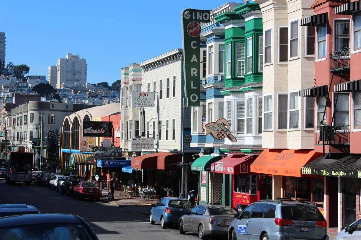
North Beach is San Francisco’s Little Italy, where the espresso bars, family-run delis, and red-sauce restaurants run shoulder to shoulder for ten blocks along Columbus Avenue. The neighborhood was the heart of the Beat Generation in the 1950s, and City Lights Bookstore still operates from the same building where Allen Ginsberg’s Howl was published in 1956.
What to See and Do
- City Lights Bookstore. The country’s first all-paperback bookstore and a working independent shop. Cross Jack Kerouac Alley to reach Vesuvio.
- Coit Tower. The 210-foot Art Deco tower on Telegraph Hill with 360-degree city views and Depression-era murals inside.
- Caffe Trieste. The first espresso bar on the West Coast, opened in 1956. Order a cappuccino and stay for an hour.
- Tony’s Pizza Napoletana. Master Pizzaiolo Tony Gemignani’s award-winning pies, baked in seven different ovens.
See North Beach on Dylan’s Famous Tour and the Lombard Leap, our 90-minute open-air ride through the city’s most photogenic stretch.
Chinatown
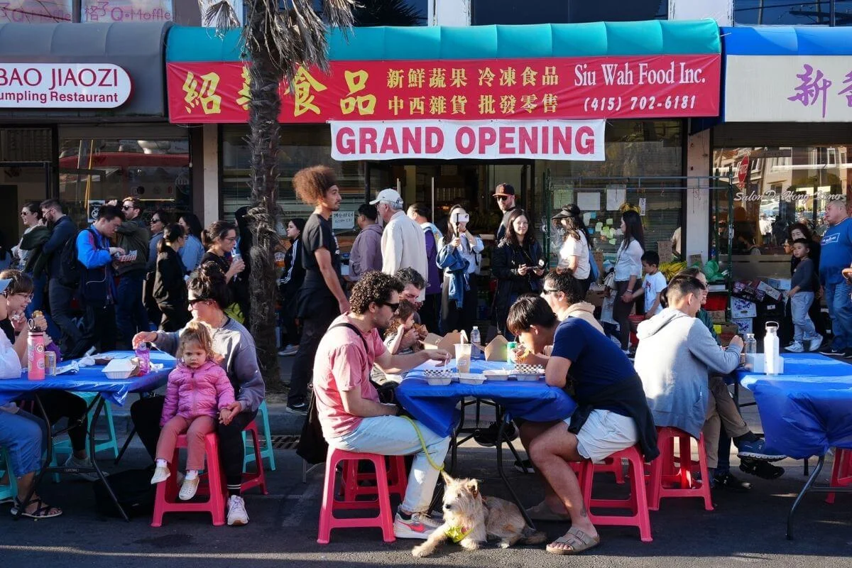
San Francisco’s Chinatown is the oldest in North America, founded in 1848 during the Gold Rush. Today its 24 square blocks hold family-run dim sum parlors, herb shops, fortune cookie factories, and the oldest active Chinese temple in the country.
What to See and Do
- The Dragon Gate. The official entrance at Bush and Grant Avenue, gifted by the Republic of China in 1970.
- Portsmouth Square. The living room of Chinatown, where locals practice tai chi and play Chinese chess through the afternoon.
- Golden Gate Fortune Cookie Factory. A working factory on Ross Alley where you can watch cookies being folded by hand and buy a bag still warm.
- Stockton Street. The local market street is lined with seafood, produce, and butchers where most Chinatown families actually shop.
Nob Hill
Nob Hill earned its name from the railroad and silver barons who built mansions on its 376-foot summit in the 1870s. The 1906 fires destroyed nearly all of them, but Grace Cathedral, the Fairmont, the Mark Hopkins, and the cable car lines that climb the hill survived to define the neighborhood today.
What to See and Do
- Grace Cathedral. The third-largest Episcopal cathedral in the country, with a labyrinth open to the public and Ghiberti bronze doors at the entrance.
- Top of the Mark. The 19th-floor view bar at the Mark Hopkins, with a 100-cocktail menu and skyline views in every direction.
- The Fairmont San Francisco. Open since 1907 and a working luxury hotel where U.S. presidents have stayed for over a century.
- Cable car rides. The California Street line runs through Nob Hill and is usually less crowded than the Powell-Hyde route.
Russian Hill and Lombard Street
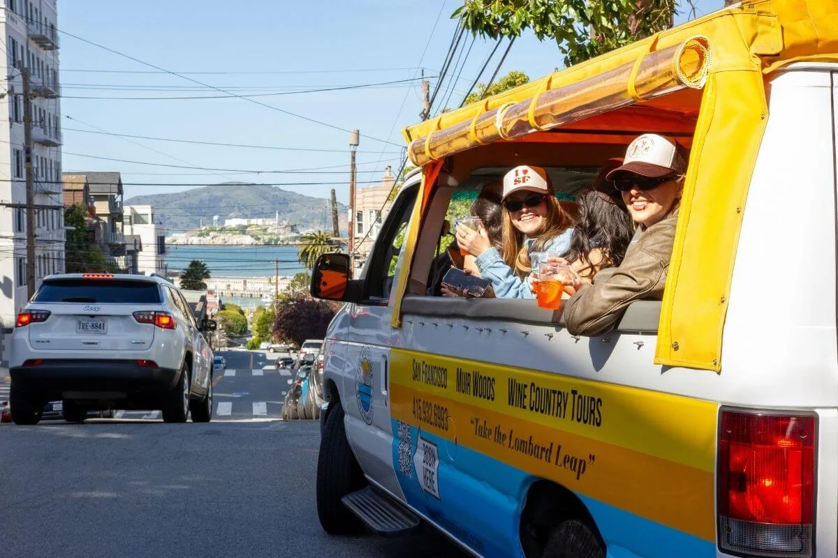
Russian Hill sits just north of Nob Hill and holds the most famous block of street in America: the 1000 block of Lombard Street, with its eight hairpin turns descending past hydrangeas and brick paving. The neighborhood also has some of the city’s quietest residential streets, with hidden staircases like the Filbert Steps and Macondray Lane connecting the hill to North Beach.
See it on The Lombard Leap, our 90-minute open-air ride down Lombard Street and through the most photogenic stretch of the city.
The Marina

The Marina District was built on landfill for the 1915 Panama-Pacific International Exposition, which left behind the Palace of Fine Arts as its only surviving structure. Today the neighborhood runs along the bay between Fort Mason and the Presidio, with Crissy Field’s beach path, Marina Green’s kite flyers, and Chestnut Street’s cafés and boutiques drawing young families and runners every weekend.
What to See and Do
- Palace of Fine Arts. The Roman rotunda and Corinthian colonnade reflected in a small lagoon. Free to walk and especially photogenic at golden hour.
- Crissy Field. A former military airstrip turned beachfront park with the best ground-level Golden Gate Bridge views in the city.
- Chestnut Street. The neighborhood’s main commercial corridor, lined with bars and restaurants that fill up on weekend nights.
- Fort Mason Center. A former military post turned arts campus, with galleries, a Saturday farmers market, and Greens Restaurant overlooking the bay.
Pacific Heights
Pacific Heights rises above the Marina and runs from Van Ness to the Presidio, with mansions, sweeping bay views from Lyon Street and Alta Plaza Park, and the Fillmore Street shopping corridor anchoring the neighborhood. The “Billionaire’s Row” stretch of Broadway holds some of the most expensive homes in the country, including the houses where Mrs. Doubtfire and parts of The Princess Diaries were filmed.
Twin Peaks
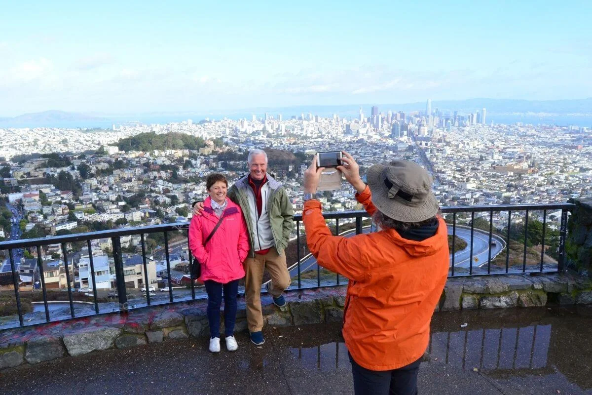
Twin Peaks is the second-highest point in San Francisco at 922 feet, with a 360-degree view that takes in the Golden Gate Bridge, the Bay Bridge, downtown, the Mission, and on a clear day, all the way to Mount Diablo. The two hills are part of a 64-acre natural area home to the endangered Mission blue butterfly and some of the city’s last native grassland.
The viewing platform is open 24 hours and free to access. Sunset and the hour after are the best windows, but bring a jacket year-round. Twin Peaks creates its own weather, and the wind picks up sharply at the summit.
Haight-Ashbury
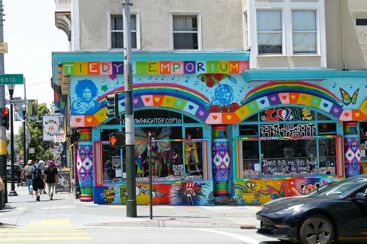
The intersection of Haight and Ashbury Streets was the epicenter of the 1967 Summer of Love, when 100,000 young people flooded the neighborhood and the counterculture movement found its physical address. Today the Haight runs as a working commercial corridor with vintage clothing shops, record stores, head shops, and the kind of street life that hasn’t changed much in 50 years.
What to See and Do
- The Haight and Ashbury intersection. The street sign at the corner is one of the most photographed in the city.
- Amoeba Music. The largest independent record store in the country, with two floors of new and used vinyl, CDs, and DVDs.
- Buena Vista Park. A 36-acre hilltop park with eucalyptus groves and views east toward downtown. Less photographed than Alamo Square but locals’ preferred picnic spot.
- The Grateful Dead House. 710 Ashbury Street, where the band lived from 1966 to 1968. Private residence today, but the exterior is the photo.
The Cole Valley side of the neighborhood, just west of Haight Street, holds quieter cafés and Tank Hill, with one of the city’s best skyline views and almost no foot traffic.
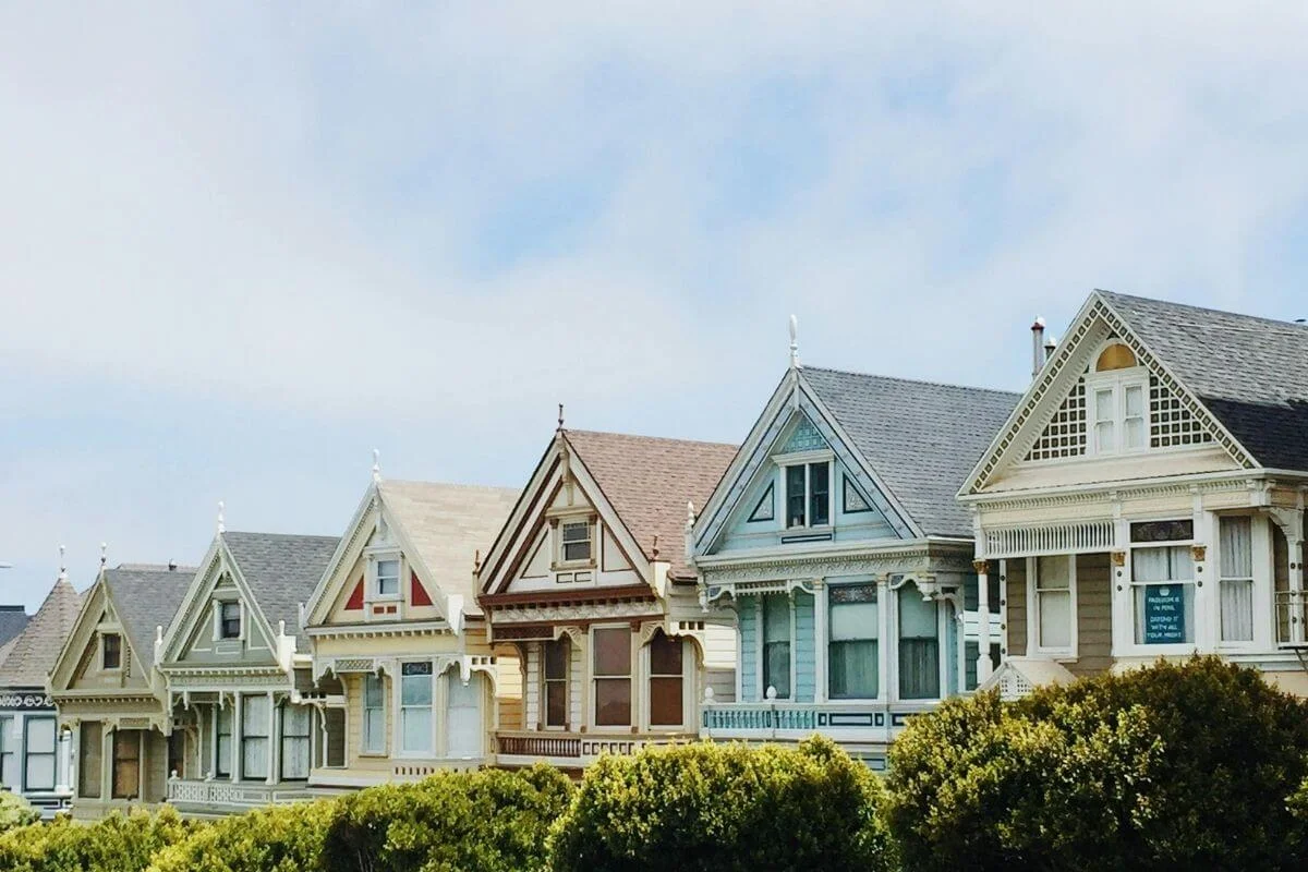
Alamo Square
Alamo Square is a 12.7-acre hilltop park anchored by the Painted Ladies, the row of pastel Victorian houses on the 700 block of Steiner Street that frame the downtown skyline. The seven houses, built between 1892 and 1896, survived the 1906 fires and became one of the most photographed scenes in San Francisco after appearing in the opening credits of Full House.
The park itself is a working neighborhood square with picnic lawns, a tennis court, an off-leash dog area, and Victorian and Edwardian houses on every side. The Westerfeld House on the northeast corner, built in 1889, is the largest surviving example of Stick-Eastlake architecture in the city.
The Mission District
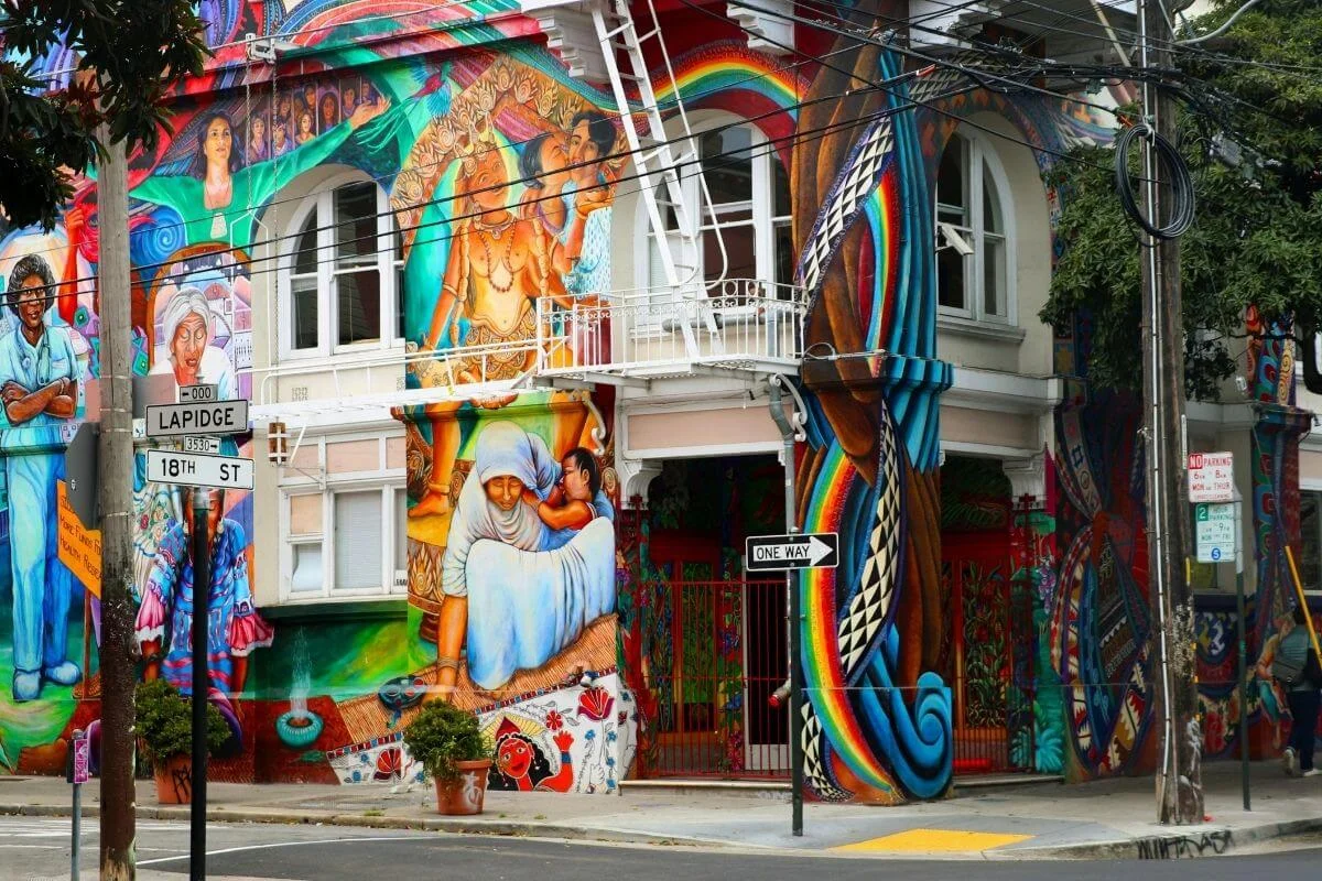
The Mission is San Francisco’s oldest neighborhood and its warmest, with a microclimate that sits in full sun while fog blankets the rest of the city. Mission Dolores, the original Spanish mission built in 1776, still stands on 16th Street as the oldest intact building in San Francisco. The neighborhood today is the heart of the city’s Latinx community and one of its most concentrated corridors of street art, taquerias, and independent businesses.
What to See and Do
- Clarion Alley and Balmy Alley. Two of the densest mural corridors in the country, with new work added regularly by the local arts collectives that maintain them.
- Dolores Park. The Mission’s living room, with skyline views, palm trees, and the warmest grass in the city for an afternoon picnic.
- Mission Dolores. The 1776 adobe chapel and its 1918 basilica next door, both open to the public.
- The taquería corridor. La Taqueria, El Farolito, and Taqueria Cancun on Mission Street are the three most-debated burrito spots in the city.
The Mission also holds some of San Francisco’s best bars and cocktail rooms. See our Best Bars in San Francisco guide for the full list.
The Castro
The Castro became one of the first openly LGBTQ+ neighborhoods in the United States in the 1960s and ’70s, and the rainbow crosswalks at 18th and Castro mark the symbolic center of the movement. Harvey Milk ran his camera shop and political campaigns from 575 Castro Street, and the newly restored Castro Theatre, a 1922 movie palace on the corner of Castro and Market, anchors the neighborhood after a $41 million renovation that reopened its doors in February 2026.
Noe Valley
Noe Valley sits one ridge south of the Castro, in the formal Eureka Valley district. Where the Castro stays loud and busy, Noe Valley runs on quiet streets, neighborhood cafés, and a Saturday farmers market that draws young families from across the city. The 24th Street commercial corridor holds bookstores, bakeries, and locally owned shops without a chain in sight.
SoMa
South of Market runs from the Financial District south to Oracle Park, with Mission Bay and South Beach extending east along the waterfront. A former industrial zone, the neighborhood is now home to Chase Center, UCSF Medical Center, and the Giants’ ballpark at Oracle Park. Potrero Hill rises just to the south, quieter and sunnier, a favorite among young professionals priced out of the Mission.
Yerba Buena
Yerba Buena sits within SoMa and holds the highest concentration of museums and galleries in the city. SFMOMA anchors the district on Third Street, alongside the Museum of the African Diaspora, the Yerba Buena Center for the Arts, and the Children’s Creativity Museum.
Yerba Buena Gardens, a 5.5-acre public park built above the Moscone Convention Center, connects them all with open lawns, public art installations, and a Martin Luther King Jr. memorial fountain. The district also sits within the larger SOMA Pilipinas Filipino Cultural Heritage District, one of the most culturally layered parts of the city.
Bayview
Bayview is San Francisco’s sunniest neighborhood, situated in the southeastern corner of the city along the Third Street corridor. The neighborhood developed into one of the hubs of Black culture and community in San Francisco during the Great Migration, when Hunters Point Naval Shipyard jobs drew tens of thousands of Black Americans to the city.
Today the Third Street corridor holds the nearly 140-year-old Bayview Opera House, working artist studios at the former shipyard buildings, and Heron’s Head Park, where ospreys nest at the edge of the bay and trails run along the waterfront.
Downtown, the Financial District and Union Square
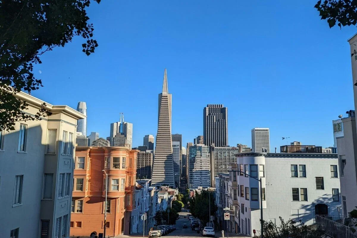
The Financial District runs along the Embarcadero from the Ferry Building south to the Bay Bridge, with the Transamerica Pyramid as the skyline anchor and the Ferry Building Marketplace as the most-visited food hall in the city. Union Square sits one block inland as the main shopping and theater hub. The Duboce Triangle neighborhood connects downtown to the Castro just to the southwest, one of the city’s most walkable and closely-knit residential pockets.
The Presidio
The Presidio is a 1,500-acre national park at the northern tip of the peninsula, where the Golden Gate Bridge meets the bay. A former U.S. Army base until 1994, it now holds Lucasfilm’s headquarters, the Walt Disney Family Museum, and miles of hiking trails with spectacular views at every turn. Dylan’s Famous Tour passes through the Presidio on its approach to the bridge.
Treasure Island
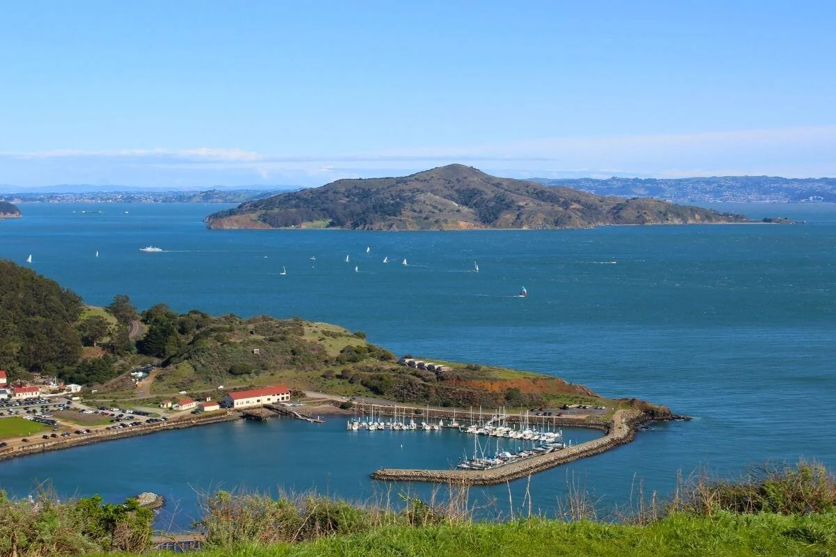
Treasure Island is a 400-acre man-made island in the middle of the bay, built for the 1939 Golden Gate International Exposition. Today it holds one of the most underrated panoramic views of the San Francisco skyline from either side of the bay. Read our full Treasure Island guide for everything you need to know about visiting.
The Richmond and the Sunset
The Richmond runs west from the Panhandle to the Pacific along the northern edge of Golden Gate Park, with Clement Street as its main dining corridor and one of the densest concentrations of Southeast Asian, Eastern European, and Chinese restaurants in the city. The Sunset mirrors this on the southern edge of the park, quieter on weekdays, with Ocean Beach running the full length of its western border and some of the best dim sum in SF along the Irving Street corridor.
Hayes Valley, the Civic Center and Japantown
Hayes Valley runs along Hayes Street between the Civic Center and Alamo Square, with independent boutiques, some of the city’s best pastry shops, and City Hall, the War Memorial Opera House, and the Asian Art Museum all within a few blocks. Japantown sits a few blocks north, one of three remaining Japantowns in the country, centered on the Japan Center and the Cherry Blossom Festival each April.
See San Francisco’s Neighborhoods with Dylan’s Tours
Dylan’s Famous Tour is the most comprehensive way to see top SF neighborhoods in a single day, with three versions for different schedules.
For a focused 90-minute ride through North Beach, Chinatown, Russian Hill, and Lombard Street, check out our Lombard Leap tour.
Not sure which tour is right for you? Our guide to the best San Francisco tours breaks down the best options for every type of traveler.
SF Neighborhoods FAQ
How many neighborhoods does San Francisco have?
San Francisco has 19 major neighborhoods, though the city contains over 100 unofficial districts and sub-neighborhoods depending on how boundaries are drawn.
What are the best neighborhoods for first-time visitors?
Fisherman’s Wharf, North Beach, Chinatown, and the Mission cover the most ground in the least time, from the working waterfront to the city’s best street food and street art.
What are the best areas to stay in San Francisco?
It depends on your travel style and budget. Our guide on where to stay in San Francisco breaks down every major neighborhood by traveler type, from families and first-timers to couples and solo travelers.
Which San Francisco neighborhoods are on Dylan’s Famous Tour?
Our Full Day Famous Tour covers 13 neighborhoods including Fisherman’s Wharf, North Beach, Chinatown, Nob Hill, the Marina, Pacific Heights, Haight-Ashbury, Alamo Square, the Mission, and Twin Peaks.
Check out all of our award-winning San Francisco tours and find the perfect route for your SF trip!